


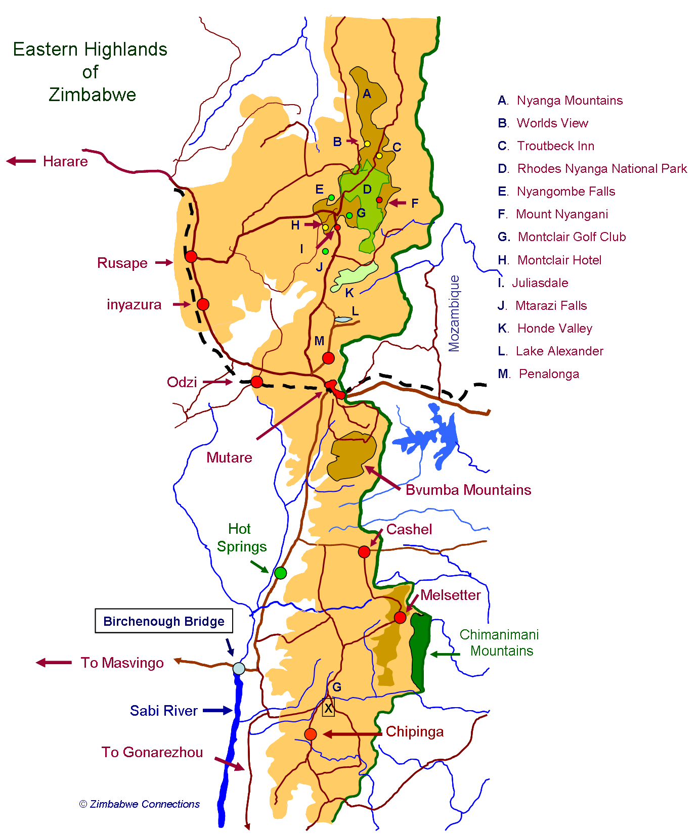
Eastern Highlands
Juliasdale, Nyanga, Troutbeck, Honde Valley, Bvumba, Cashel, Melsetter, Chimanimani and Chipinge.
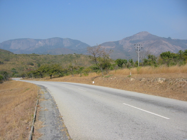
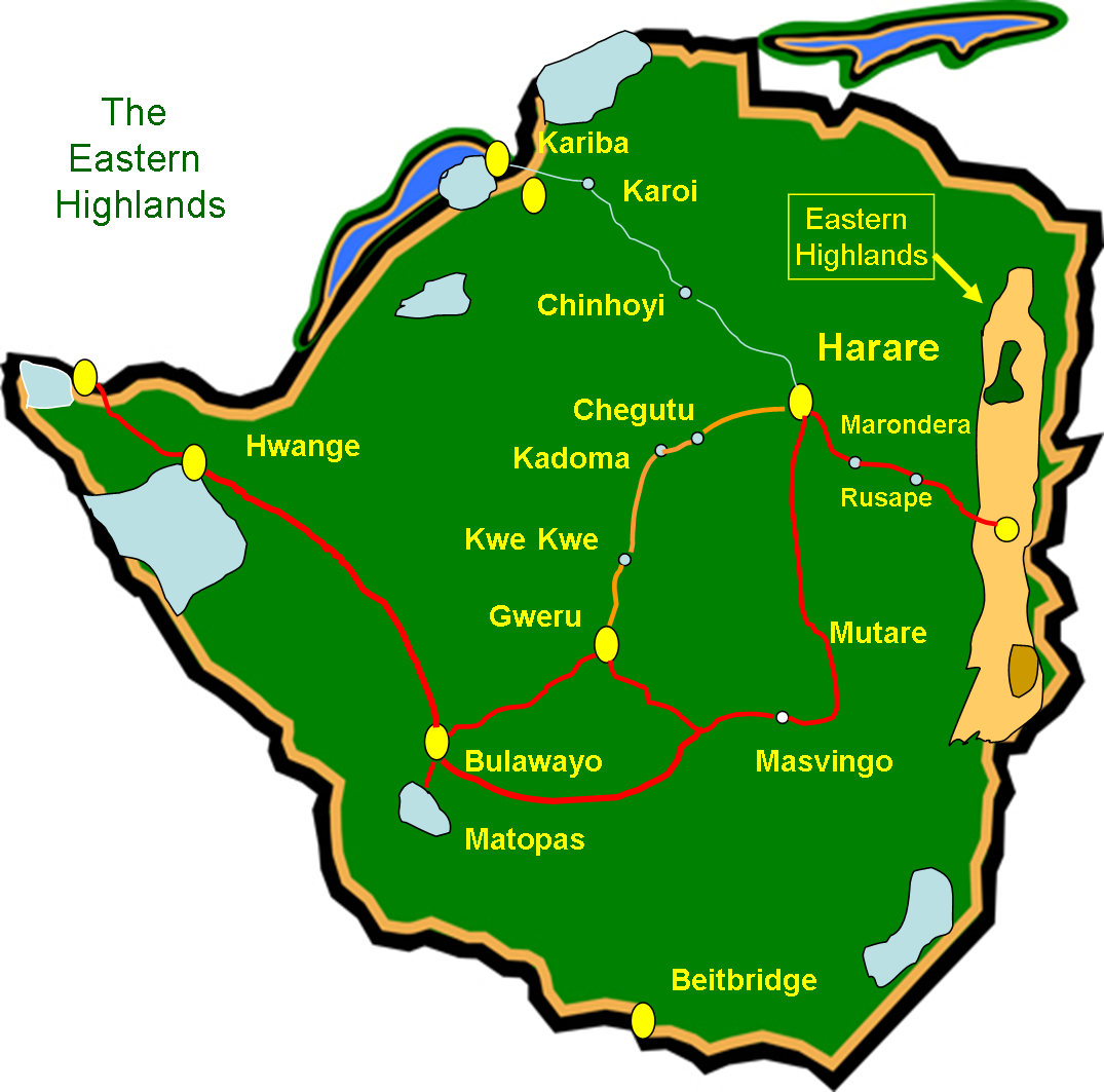
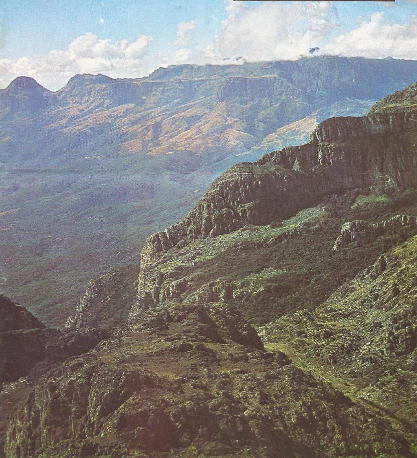
The Eastern Highlands in Zimbabwe extends for approximately 200 miles (320 kms) from the Nyanga Mountains in the north through to Chipinge in the south east and forms the border with neighbouring Mozambique. The Eastern Highlands is an all embracing term for a number of areas in the eastern part of the country and generally includes Juliasdale, Nyanga, Troutbeck, the Honde Valley, Mutare, the Bvumba, Cashel, Melsetter, the Chimanimani Mountains and Chipinge.
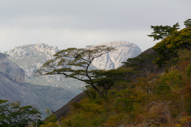
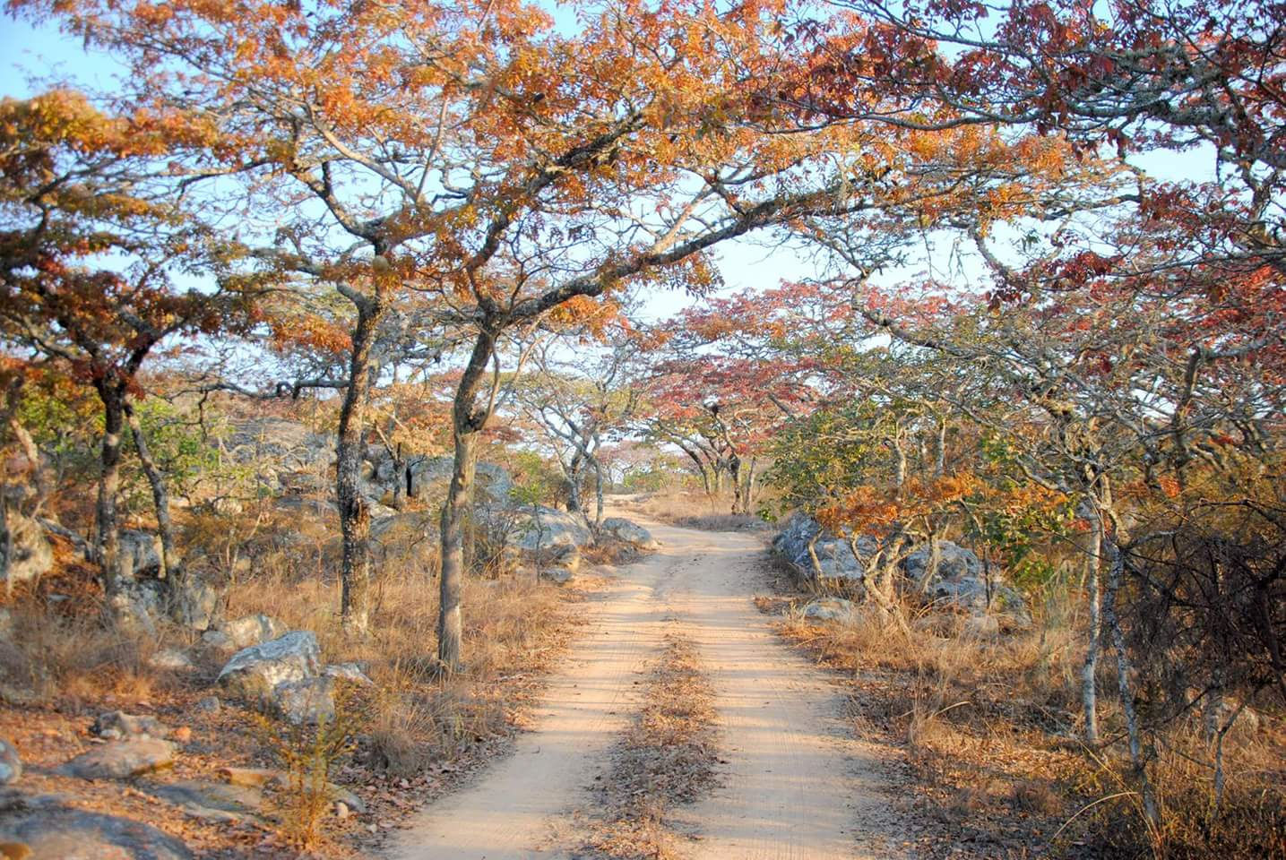
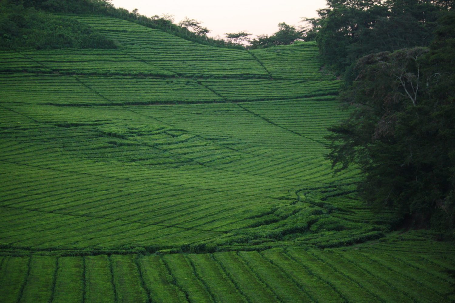
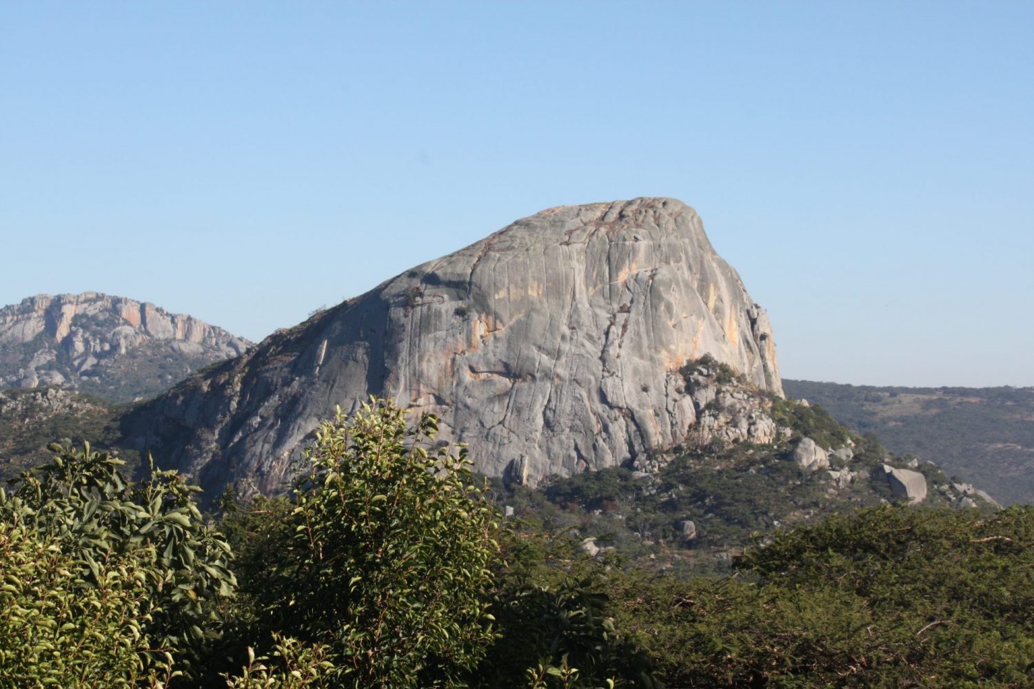
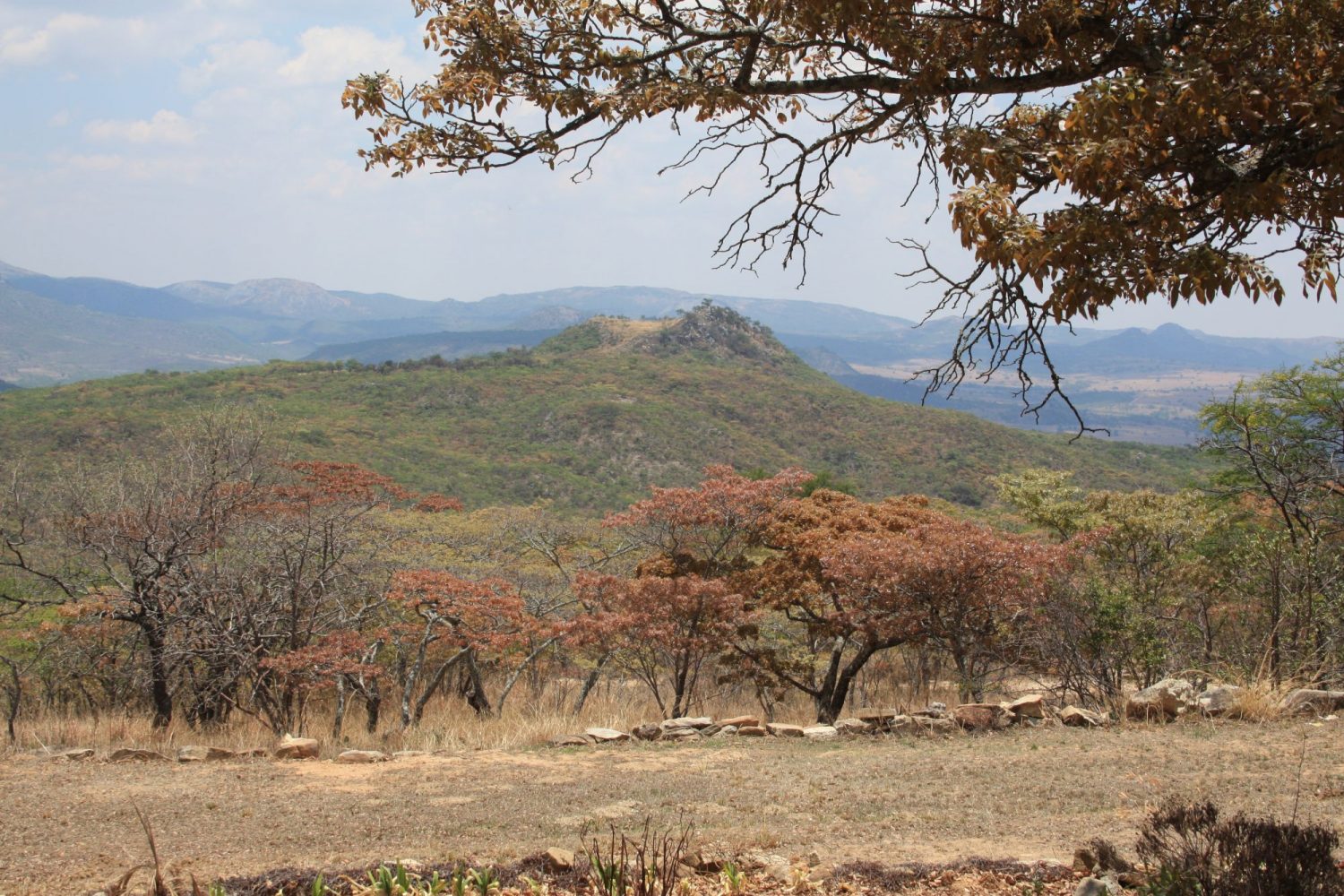
The region is characterised by wonderful mountain ranges, rolling mists, cultivated forests, vast tea estates, apple orchards and waterfalls. It is very popular with birders, fishermen and outdoor enthusiasts who participate in hiking, camping and abseiling etc.
Click on image below
First time visitors to the area are so often taken aback by the climatic and environmental differences to other parts of the country. Within the Eastern Highlands there are a number of micro climates all influenced by the enormous mountains and rolling valleys which dominate the region. As a result much of the flora and fauna are localised and not to be found anywhere else in Zimbabwe.
The Eastern Highlands are truly beautiful and provide completely different and indeed unique experiences to the many other iconic destinations in the country such as the Matopas, Kariba, Victoria Falls, Great Zimbabwe and the many wildlife parks.
There is so much to see and do in the Eastern Highlands. See ‘Attractions’ and ‘Activities’ below. The weather lends itself to all year round visits. We would recommend a stay of three to five nights. For visitors who have more time perhaps consider travelling from Harare, staying in the Eastern Highlands and then motoring on down to Masvingo Province to see the Ancient City of Great Zimbabwe . This will take you over the amazing Birchenough Bridge (see details below).
Another option is to travel from Bvumba through Melsetter directly down to the magnificient Gonarezhou National Park. A minimum stay of three nights is recommended. From Gonarezhou you can make your way to Masvingo to visit Great Zimbabwe and then either carry on down to Bulawayo via Gweru or back to Harare. By car it is approximately seven and half hours from Gonarezhou to either Bulawayo or Harare.

At A Glance

Accommodation
- Bushman Rock (Ruwa)
- Imire Game Reserve (Marondera)
- Musangano Lodge (Odzi)
- Inn on Ruparara (Juliasdale)
- Pine Tree Inn (Juliasdale)
- Montclair Hotel (Juliasdale)
- Troutbeck Inn (Nyanga)
- Rhodes Nyanga Hotel (Nyanga)
- Shambala Lodge (Nyanga – self-catering)
- Mount View Lodge (Nyanga – self-catering)
- Aberfoyle Lodge (Honde Valley)
- La Rochelle Country House (Penhalonga)
- Amber Hotel (Mutare – Holiday Inn)
- Gordon’s on 125 First Street (Mutare)
- Eden Lodges (Bvumba)
- Grace’s Cottage – Self-Catering (Bvumba)
- Impala Arms (Bvumba)
- Leopard Rock Hotel (Bvumba)
- Musangano Lodge (Bvumba)
- Paddocks (Bvumba – Self-catering)
- White Horse (Bvumba)
- Frog ‘n Fern (Chimanimani)
- Zim Parks Cottages: Mare Dam, Udu Dam & Rhodes Dam (Nyanga)

Attractions
- Rhodes Nyanga National Park (Nyanga)
- Chimanimani National Park (Melsetter)
- Mount Nyangani (Nyanga)
- World’s View (Nyanga)
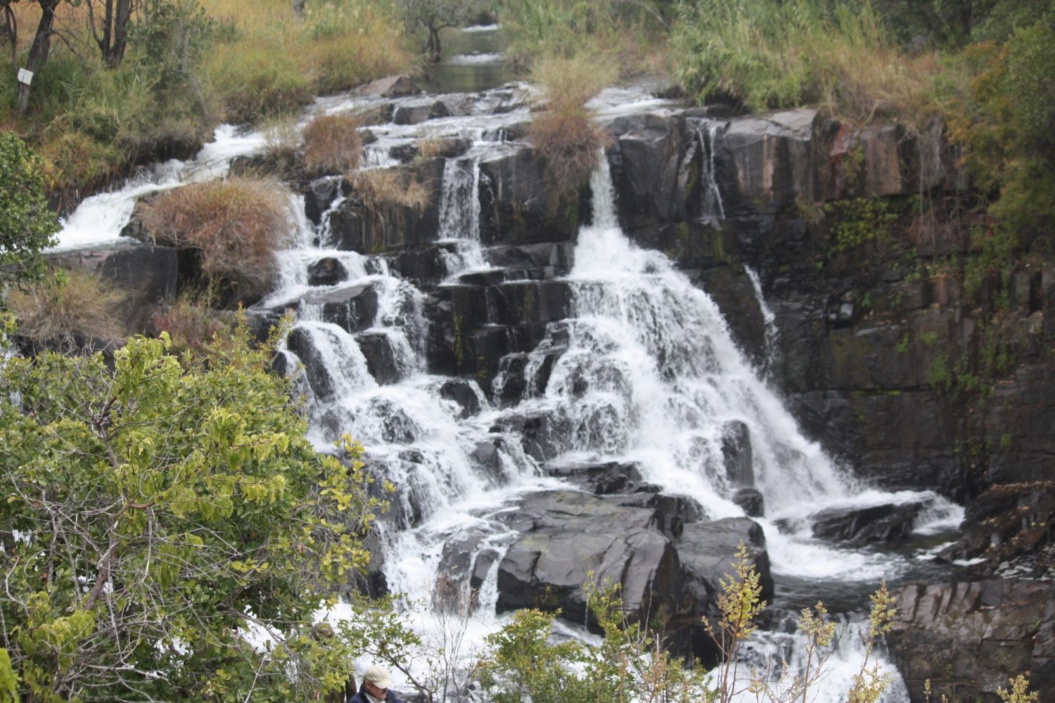
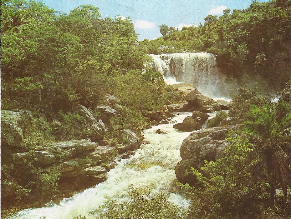
- Nyangombe Falls (Nyanga)
- Mutarazi Falls
- Pungwe Gorge and Falls
- Nyamuziwa Falls
- Bridal Veil Falls (Chimanimani)
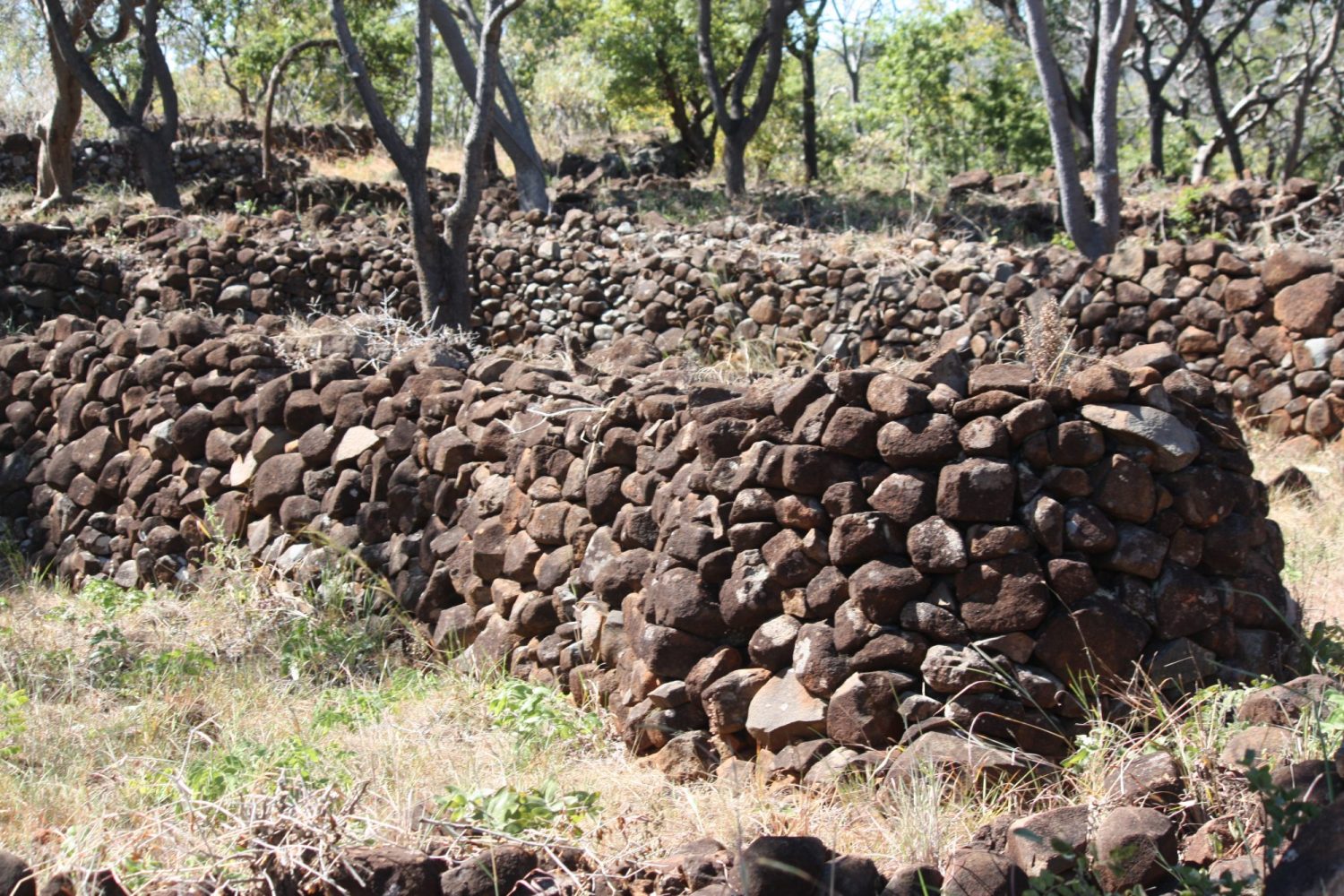
- Kezi Ruins (Nyanga)
- Nyangwe and Chawomera Forts (Nyanga)
- Trout Hatchery (near Purdon Dam)
- Rhodes Museum (Nyanga)
- Mutare Museum (Mutare)
- Tony’s Coffee Shop (Bvumba)
- Juliasdale Golf Club (Juliasdale)
- Botanical Gardens (Bvumba)
- Leopard Rock Golf Course (Bvumba)
- Troutbeck Inn Golf Course (9 holes)
- Mare, Udu and Rhodes Dams (Nyanga)
- Connemara Lakes (Nyanga)
- Hot Springs
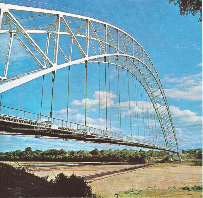
- Birchenough Bridge
- Moodie’s Grave
Note:
Mount Nyangani: At 2593 metres it is the highest Mountain in Zimbabwe
Mutarazi Falls: It is the highest waterfall in Zimbabwe and the second highest in Africa.
Visitors may leave their vehicle at the car park and take a short hike to the edge of the escarpment for spectacular views of the waterfalls and the Honde Valley, some 800 metres below

Distances
Harare – Rusape 169 kms (105 miles)
Harare – Nyanga 274 kms (170 miles)
Harare – Mutare 262 kms (163 miles)
Harare – Melsetter 408 kms (255 miles)
Harare – Masvingo 293 kms (183 miles)
Harare – Gweru 277 kms (172 miles)
Rusape – Nyanga 105 kms (65 miles)
Nyanga – Mutare 116 kms (72 miles)
Nyanga – Melsetter 266 kms (165 miles)
Nyanga – Birchenough Bridge 250 kms (156 miles)
Nyanga – Masvingo 425 kms (264 miles)
Nyanga – Gweru 550 kms (342 miles)
Mutare – Birchenough Bridge 134 kms (84 miles)
Mutare – Melsetter 149 kms (93 miles)
Masvingo – Gweru 164 kms (103 miles)
Beitbridge – Bulawayo 322 kms 200 (miles)
Bulawayo – Chiredzi 434 kms (271 miles)
Bulawayo – Harare 440 kms (274 miles)
Bulawayo – Masvingo 280 kms (174 miles)
Bulawayo – Mutare 578 kms (359 miles)
Bulawayo – Nyanga 686 kms (429 miles)

Birchenough Bridge
Birchenough Bridge was designed by Ralph Freeman who was also the structural designer on the Sydney Harbour Bridge. Consequently the two bridges bear a close resemblance, although Birchenough is only two-thirds as long as the Sydney Harbour bridge.
It was built by Dorman Long and completed in 1935. At a length of 1,080 feet (329 m) it was the third longest single-arch suspension bridge in the world at the time.
The bridge was funded and planned by the Beit Trust, a foundation chaired at the time by Sir Henry Birchenough whose ashes are buried beneath the structure of the bridge and from whom the bridge takes its name.
In the 1970s a 40-tonne load limit was imposed on the bridge but in 1984 the bridge was widened (roadway: 7.2 m to 10 m wide) and strengthened as part of the World Bank‘s Highway Project One. The village which sprang up next to the bridge has become the centre of a small-scale farming area.
The bridge is considered to be one of the country’s finest pieces of engineering, and as such it appeared on the now defunct Zimbabwean twenty-cent coin.
Birchenough Bridge is the only bridge without any piers or supports on the bottom holding it for its support.
Due to economic downturn and political upheaval since the year 2000 the Zimbabwe Department of Roads has reduced its load capacity and will not allow any vehicle weighing more than 25 tonnes to cross the bridge. This significantly reduced business activities in the areas nearby.

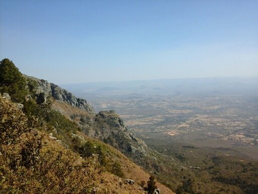
Mount Nyangani
Mount Nyangani (formerly Mount Inyangani) is located in the Nyanga National Park and is situated in close proximity to Juliasdale.
It is the highest mountain in Zimbabwe at 2,593 m (8,504 ft)
Mt Nyangani is approx 275 km (171 mi) east of Harare and 70 miles north of Mutare.
The area is very popular with walkers and ‘outward bounders’ and climbing Mt Nyangani is on many visitors ‘to do’ list. Depending on individual fitness the walk will generally take between 1½ to 3 hours.
Whilst the walk does not require rock climbing it is still a relatively steep climb and it is recommended that people with health conditions, injuries or who are out of condition should not attempt it.
The ascent is tiring and the decline is strenuous and hikers need to be careful of loose stones. It should not be attempted after rains.
Annual rainfall totals are high (around 2200 mm) but long spells of dry weather occur during the winter period of May to August which generally makes for ideal walking conditions as it is quite cool.
It is essential that you have the correct footwear which should not be loose. You will also need to take water and it is recommended that you take something to snack on. It is advisable to take a camera.
When climbing Mt Nyangani you need to be very aware of prevailing weather conditions and should seek local advice. The weather can change very quickly from sunny skies to thick fog and visibility will be severely impacted. It is easy to become disorientated and to loose direction, so is potentially very dangerous. Under fairly severe conditions a number of fatalities have occurred over the years.
The summit lies atop a small outcrop of rock around 40 metres above the surrounding area. The remainder of the peak is a broad moor of mainly rolling hills and plateau covering an area of about 8 km2. There are excellent views to be had and on a clear day there are many good photographic opportunities. The edges of the plateau fall steeply away to the east and west sides.
Three rivers have their sources on Mount Nyangani: the Nyamuziwa River, the Kairezi (Gairezi) River and the Pungwe River. The first two are tributaries of the Mazowe River, which is itself a tributary of the Zambezi River. The Nyama River, a tributary of the Kayirezi, falls off the main plateau in a waterfall on the northeast of the mountain and the Kairezi Falls are located on the east edge of the main plateau.

Activities
- Fly fishing
- Trout and bream fishing
- Rock climbing
- Abseiling
- Bird watching
- Game viewing
- Horse riding
- Walking and hiking trails
- Boating
- Swimming
- Camping
- Caravaning
- Golf (Claremont Golf Club – 18 holes; Troutbeck Inn – 9 holes), Leopard Rock (18 holes)

Eastern Highlands Mountains
The Eastern Highlands’ is the mountain range in the east of Zimbabwe and one of four distinct physiographic divisions on the African continent. They extend for approximately 300 kms (190 mi) along Zimbabwe’s eastern border with Mozambique.
The range comprises three main mountain groups – Nyanga (to the north) which contains Zimbabwe’s highest mountain Mount Nyangani, Africa‘s second-longest waterfall Mutarazi Falls and the Honde Valley which leads into Mozambique; Bvumba Mountains (centrally situated near the city of Mutare); and Chimanimani (to the south).
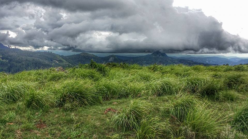
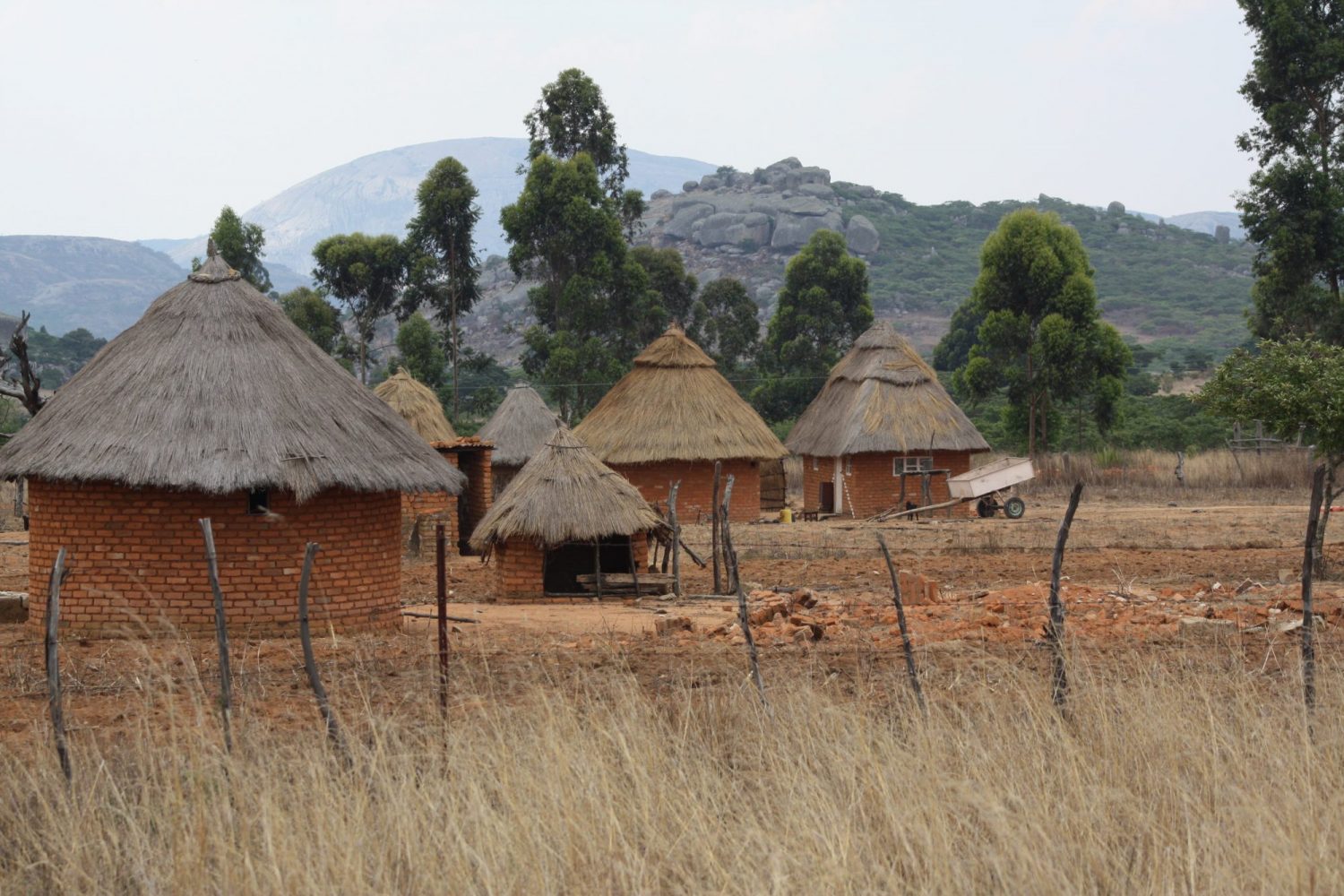
These regions are all sparsely populated, highland country and are covered in rich grassland and forests.
The Highlands have a more equable climate than Zimbabwe’s central plateau, with higher rainfall, low cloud and heavy mists and dew as moisture moves inland from the Indian Ocean.
Many streams and rivers originate in these mountains, which form the watershed between the Zambezi and Save River systems.
Flora:
Much of the area consists of rolling hills covered with grassland, which are renewed annually following the fires that occur at the end of the dry season.
Some valleys and east-facing slopes contain areas of tropical rainforest, with a high canopy and a rich undergrowth.
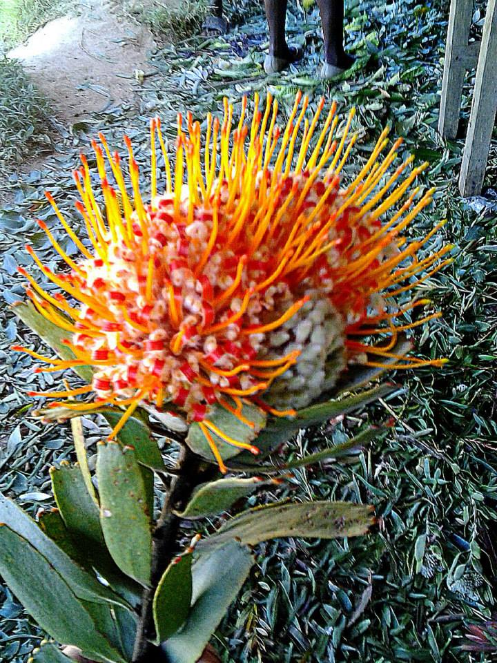
There are larger areas of dry forest at higher altitudes in places where the ground is well watered and on drier slopes patches of miombo woodland and areas of heathland at higher elevations. There are patches of the tall evergreen Mobola Plum near the town of Chipinge and on the western slopes of the Nyanga Highlands. A number of indigenous monocot lilies with small distribution ranges occur in these mountains such as Cryptostephanotis vansonii, Cyrtanthus rhodesianus, Scadoxus pole-evansi to name a few.

Weather
The Eastern Highlands extends over 320 kms so temperatures can vary a fair amount.
Approximate Monthly Average Maximum Temperatures:
- January 27.4°C
- February 26°C
- March 26.1°C
- April 25.3°C
- May 23.2°C
- June 21.4°C
- July 21.2°C
- August 23.3°C
- September 24.2°C
- October 27.5°C
- November 27,4°C
- December 27.3°C
Summer highs can reach 30° to 32°c
Winter lows can reach 3° to 6°c
Summer highs can reach 38° to 40°c
Winter lows can reach 5° to 6°c